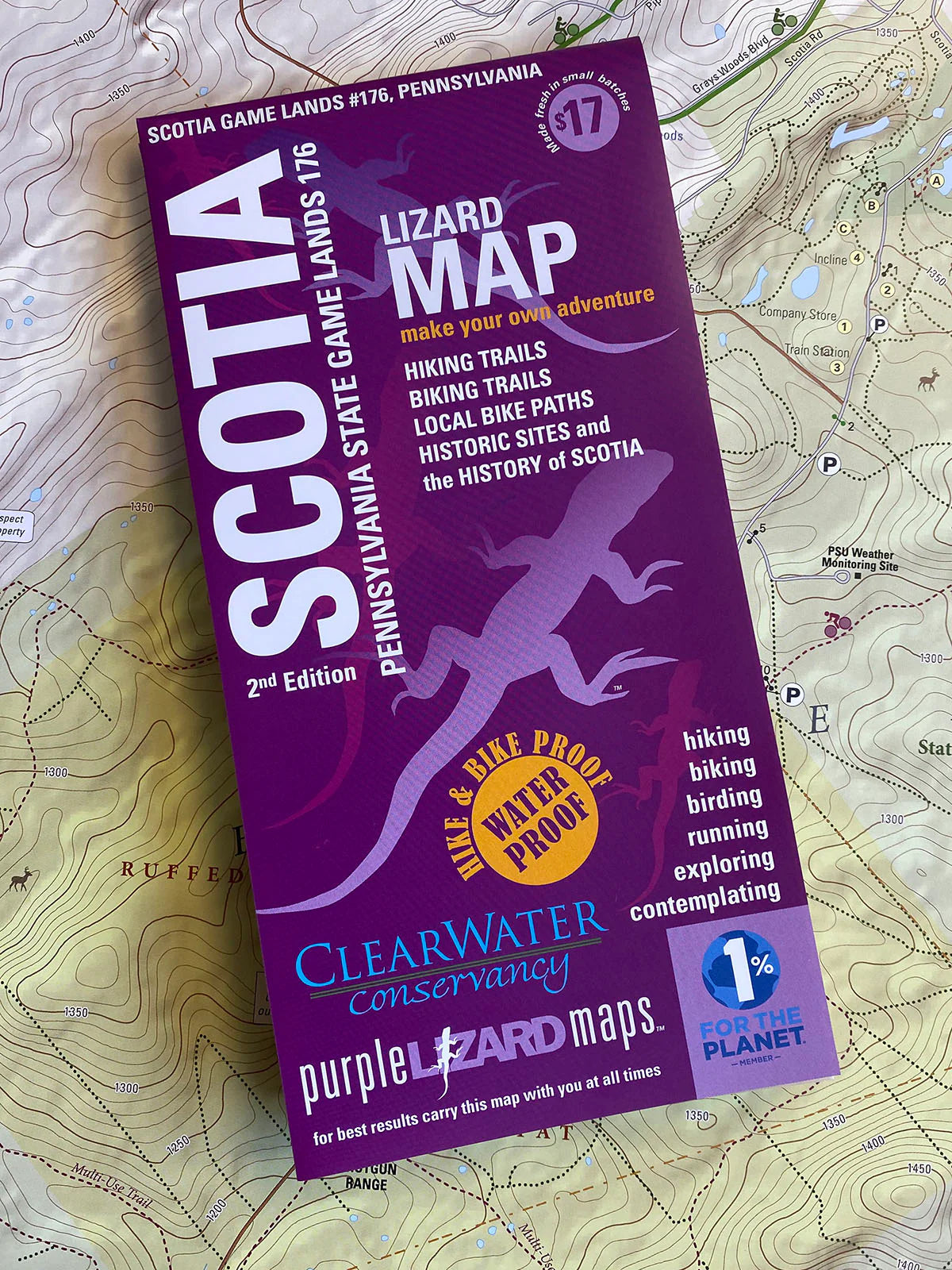
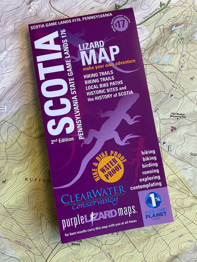
Scotia Game Lands Trails and History Map, PA
Scotia Game Lands Trails and History Map, PA is backordered and will ship as soon as it is back in stock.
Couldn't load pickup availability
Delivery and Shipping
Delivery and Shipping
Add some general information about your delivery and shipping policies.
In partnership with Clearwater Conservancy, this map features Game Commission and community park trails plus the historical legacy of the iron ore industry.
Scotia - technically called Pennsylvania State Game Lands #176 - but referred to by locals as The Barrens, Scotia, or the Scotia Barrens. This is a place with many wonders - otherworldly in places, and echoing of a deep history well worth exploring. This map features a modern day trail map on one side and an 1892 historical map of Scotia on the other side with photos both new and old. The history of iron ore mining, and the communities that lived and worked in this area echo throughout the landscape.
Lizard Maps are durable, waterproof, and give you the big picture – the map opens to 24” x 36” and folds easily to 4” x 8” to fit in your back pocket. The Scotia Lizard Map scale is 1:16,075. Includes both lat./lon. and UTM coordinate systems.
This is a hyper-local map, which is different than the other Lizard Maps. Unlike our maps of larger State Forest landscapes over 100,000 acres, this map covers about 7,000 acres of public land in the State College, PA area.
Hikers and trail runners have a tremendous amount of trails to explore in a relatively small area - great for putting together loops of various lengths. Cyclists and equestrians can use several main trail corridors that traverse the Game Lands and connect with major roads, bordering parks, and tie into the State College bike path system.
As an FYI about the trail system in Scotia Game Lands #176 - the Game Commission does not name the trails, nor do they blaze them. They use a small plastic marker at the entrance or intersection of most trails that denotes a hiker, if it is foot use only, or a hiker-biker-horse if it is a shared use trail. But you will not find trail signs with names in the State Game Lands.
Scotia is a unique natural environment with many small (and not-so-small) lakes, vernal pools, old railroad corridors, historical ruins, and unusual vegetation habitat, The topography is unusual and it feels that way: in summertime temperatures can drop as much as 30 degrees cooler than in nearby State College Pennsylvania. Pitch pine and scrub oak dominate the Barrens, but you'll also find an amazing variety of rare, threatened and endangered plant and animal species such as the hoary puccoon, lupine, barrens buckmoth and frosted elfin.
Scotia was a former iron ore mining community in the 1800s and early 1900s—a real town, with a company store, a one-room schoolhouse, a church, a Main Street with duplex houses, a big fancy Superintendent's House, and a boarding house on the hill. It was also a major industrial ore mine, beginning with a hundred men working with picks and shovels and eventually becoming a network of railroads, steam shovels, boilers, pump derricks, ore washers, and several hundred men trying to do back breaking work without getting killed. That history echos today in the form of odd shaped pits, mysteriously flooded lakes, concrete bunkers and stone foundations.
This map is a collaboration with ClearWater Conservancy, an important Central Pennsylvania environmental non-profit that specializes in land preservation. Clearwater preserved the Barrens to Bald Eagle Wildlife Corridor, which abuts Scotia and continues to the Bald Eagle Mountain ridgetop. This also serves as a parking area and access to the northern side of the Barrens of Route 550.
One of the highlights of Scotia is the many small ponds that lie on the western side, in the Tow Hill region. There are many trails to and around these ponds, but please note that only the recognized Game Commission trails are shown on the map, so if you plan on exploring off-trail, or following deer paths, you might want to keep a compass handy.
In Scotia you may come across bits of railroad track, old stone foundations and other remnants of Scotia's industrial past. If you do find an artifact of some sort, such as an interesting old tool or unique object that leaves you scratching your head, please leave it in place and take a photo of it to the Centre County Historical Society. Historians and archaeologists are working to reconstruct what was happening there in the 1800s and these artifacts may prove helpful for their research.
Payment & Security
Payment methods
Your payment information is processed securely. We do not store credit card details nor have access to your credit card information.


